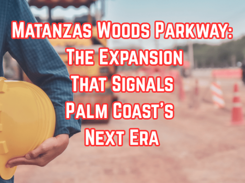
Matanzas Woods Parkway: The Expansion That Signals Palm Coast’s Next Era
Palm Coast has come a long way from its early identity as a quiet bedroom community: A place where residents lived, retired, and relaxed, while jobs and major commerce largely existed elsewhere. The original vision focused on calm neighborhoods, cul-de-sacs, golf courses, and a retiree-centered lifestyle.
But the city — and its identity — is evolving. Younger families are moving in. Larger companies and service industries are taking interest. Traffic patterns, commuting needs, and expectations for local amenities are changing. And one of the clearest indicators of this shift is happening right now along Matanzas Woods Parkway. This is not a city milestone, but a singal for residence and future inititives that will connect to the west-side current expansion and growth.
This major expansion is underway, not just a repaving or minor widening, but a complete re-engineering of the corridor that will reshape how Palm Coast moves, grows, and connects in the years ahead.
“Matanzas Woods already connects to U.S. 1… so what exactly is being rebuilt?”
This is the #1 question residents are asking and for good reason.
Yes, Matanzas Woods Parkway already has a roundabout at U.S. 1, completed several years ago. But the section between U.S. 1 and the Florida East Coast (FEC) railway is still the old, two-lane system — the original layout left from the bedroom-community era.
What’s happening now is much bigger:
Here’s what the new project actually does:
Rebuilds the existing western section (from U.S. 1 toward the railroad)
Widens the road into a true multi-lane corridor designed for higher traffic flow
Extends the roadway farther west into large undeveloped areas
Constructs a brand-new overpass over the FEC railroad
Creates the backbone connection that will eventually link Matanzas Woods Parkway all the way to Palm Coast Parkway
Prepares thousands of acres for future residential and commercial growth
Improves flow for emergency services, commuter traffic, and school routes
In simple terms:
Palm Coast is replacing an old, low-capacity road with a modern roadway ready for the city we are becoming — not the city we once were.
Why This Matters Now: Palm Coast Is Outgrowing Its Original Design
For decades, Palm Coast’s layout was built around quiet neighborhoods separated into “letter sections.” The community was intentionally designed for retirees seeking tranquility — not for tech workers, young families, and employers seeking local workforce hubs.
But today’s reality is different:
Younger families are moving in rapidly
Infrastructure demands are increasing
New businesses are looking toward Palm Coast’s west side
Traffic volumes are no longer compatible with the old 2-lane system
This expansion isn’t just a road project. It’s a signal of transition — from bedroom community to a more balanced live-work city.
How We Got Here: A Quick, Clear Timeline
• I-95 Interchange Opens (2016)
Matanzas Woods finally gets its own interstate access point, setting the stage for future growth and reducing pressure on Palm Coast Parkway.
• U.S. 1 Roundabouts Completed (2019–2020)
A major safety and flow improvement, modernizing how traffic enters and exits Matanzas Woods from U.S. 1.
• West-Side Expansion Planning Begins (2024–2025)
Initial design and engineering work starts for widening, modernizing, and extending the corridor westward.
Updated May 3, 2026 Information in this article is based on publicly available transportation plans, infrastructure reports, and project summaries. Timelines, budgets, and project details are subject to change as development progresses. PalmCoastLocal.com provides this overview for general community awareness and informational purposes only and does not represent any government, business or agency.
Palm Coast is one of Florida’s newest cities, but its land has a story that stretches back centuries. Long before the first rooftops appeared, this area was home to the Timucua people and later served as a vital trade route during the British colonial era.
How was Palm Coast founded?
In 1969, the ITT Corporation (International Telephone & Telegraph) purchased 68,000 acres of swamp and pine forest in Flagler County. Their vision was to create the largest "Planned Unit Development" (PUD) in Florida history—a self-contained community with its own infrastructure, canals, and golf courses.
The "Alphabet" Neighborhoods
If you’ve noticed that every street in your neighborhood starts with the same letter (like the "P" Section or the "W" Section), that was intentional.
Design: ITT planners used an alphabetical grid to help residents navigate the massive project.
The Canals: 23 miles of saltwater canals and 46 miles of freshwater canals were carved out to provide waterfront living and advanced water management.
Key Milestones:
1970: The Palm Coast Welcome Center (a 64-foot observation tower) officially opened on October 29—now celebrated as Founder’s Day.
1972: The first "Pioneers" (residents) moved into their homes in the "C" section.
1999: On December 31, residents voted to officially incorporate, making Palm Coast a self-governing city.
Palm Coast Today
What started as a corporate project has grown into a city of over 95,000 residents. Despite the growth, the original "planned" vision remains, with over 125 miles of trails and a focus on "Authentic Florida" natural beauty.
About the Author: ALICE IS OUR PALM COAST LOCAl GUIDE
An explanation of the Palm Coast street naming convention and major thoroughfares to help new residents navigate the city sections.
Hi, I’m ALICE — your local guide to everything Palm Coast. And yes… the roads can feel confusing at first. You’re not imagining it.
Palm Coast was designed as a master-planned community in the late 1960s. Instead of growing organically like older cities, it was built in alphabetical sections — and that’s why you’ll hear people talk about the “B Section,” “C Section,” or “F Section.”
Here’s how it works.
Most residential neighborhoods are organized by letter. Streets within a section typically begin with the same letter. For example, in the “B Section,” you’ll see streets like Bayside Drive, Belle Terre Parkway, or Boulder Rock Drive. In the “C Section,” you’ll notice names like Cypress Point Parkway, Club House Drive, or Crystal Way.
It actually starts to make sense once you understand the pattern. If someone says they live in the “P Section,” you can expect many of the surrounding streets to begin with P.
Palm Coast also uses loops, cul-de-sacs, and curved roads rather than a strict grid. That’s part of why it feels quiet and residential. The winding streets and tree-lined neighborhoods were designed to slow traffic and keep communities calmer.
And here’s the fun part.
After you’ve lived here a while, you’ll catch yourself saying something like, “I’m heading over to the B Section.”
When that happens… you’ll know you’ve officially become a true Palm Coaster.
If you’d like help finding a specific section or learning which one might fit you best, just tell me where you’re headed.